
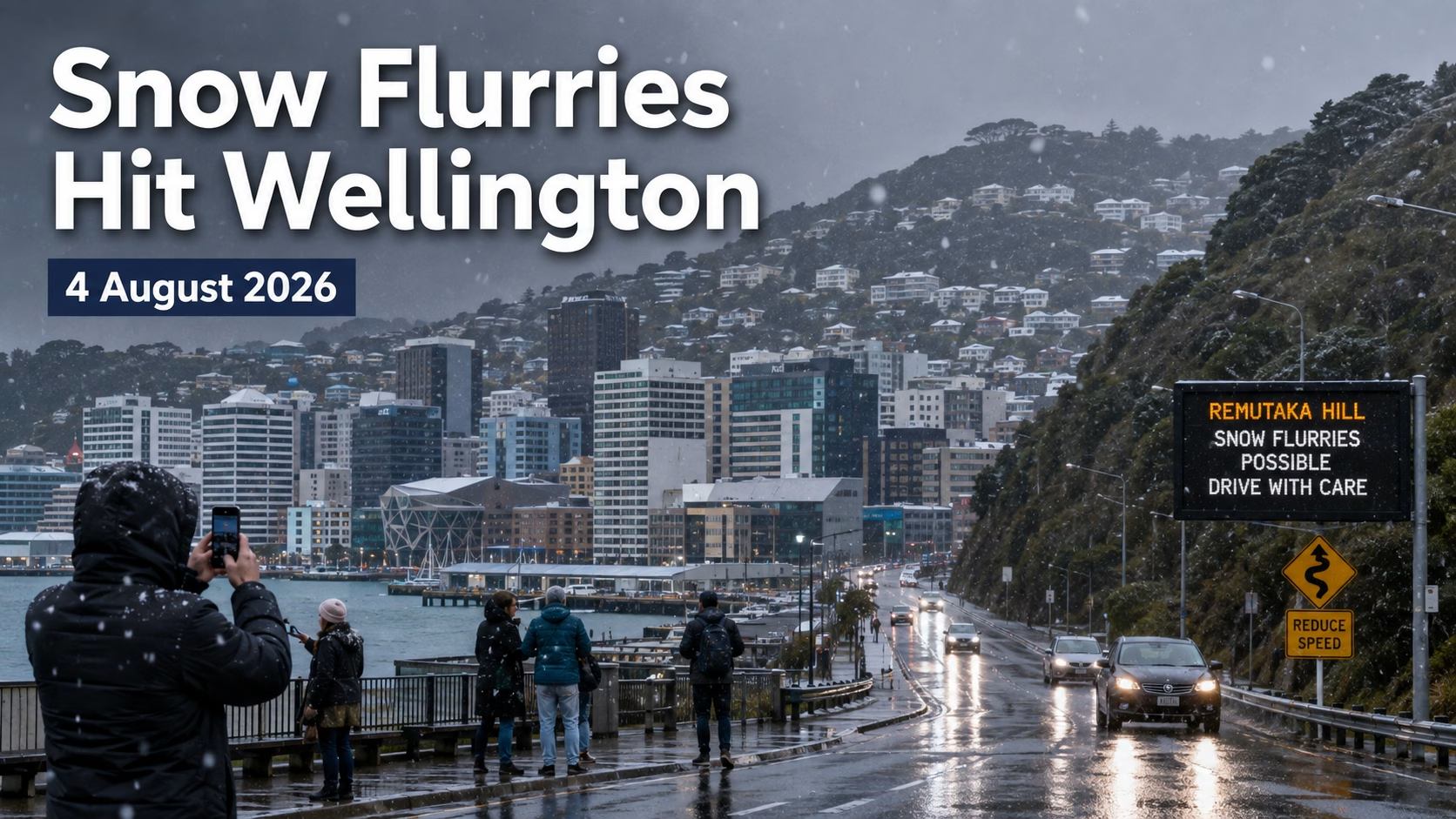
Wellington residents witnessed a rare winter spectacle on Tuesday, 4 August 2026, as snow flurries swept through parts of the capital during one of the coldest outbreaks of the year.
Snow was reported across several Wellington suburbs and central-city locations, including Newtown, Kelburn, Johnsonville and near The Terrace. Videos and photographs shared during the afternoon showed visible flakes falling through the city, although temperatures were generally too warm for the snow to settle for long.
It was certainly not enough to build a snowman, but for a city better known for horizontal rain and relentless wind, the sight of snowflakes drifting between office buildings was enough to stop people in their tracks.
The wintry weather also brought a more serious warning for motorists, with MetService issuing a road snowfall warning for State Highway 2 over the Remutaka Hill.
Snow Reaches Wellington City
Reports of snow began appearing during Tuesday afternoon as a bitterly cold southerly air mass moved north across the country.
Snowflakes were observed in elevated suburbs and, unusually, at or close to sea level in parts of central Wellington and Newtown.
WeatherWatch had forecast that snow flurries could spread into the southern and eastern North Island, with snow most likely above 200 to 300 metres. However, colder showers were capable of temporarily carrying flakes to much lower levels.
Residents described short bursts of snow mixed with rain, sleet and small hail. In most places, the flakes melted almost immediately after reaching roads, footpaths and rooftops.
That distinction matters. Wellington experienced snow flurries, but this was not a widespread settling snowfall comparable with the major event of August 2011.
How Rare Is Snow in Wellington?
Snow in Wellington is unusual, but it is not accurate to say the city has seen none since 2011.
Flurries were officially reported in Wellington during September and October 2022, particularly around higher suburbs such as Johnsonville, Churton Park and the eastern hills. MetService also recorded flakes observed by some of its Wellington meteorologists during the October 2022 Antarctic outbreak.
The more meaningful historical comparison is with significant or widespread snowfall.
On 14 and 15 August 2011, Wellington experienced snow down to sea level during a major polar outbreak. It was the city’s most severe snowfall since 1976 and caused major transport disruption, power outages and road closures.
That means Tuesday’s event came:
| Wellington snow event | What happened |
|---|---|
| August 1976 | Major historic snowfall used as the benchmark for later events |
| August 2011 | Snow fell to sea level and Wellington experienced its heaviest snowfall since 1976 |
| September and October 2022 | Light flurries reported in several suburbs, mainly at higher elevations |
| 4 August 2026 | Flurries reported across elevated suburbs and some central-city locations |
So the honest headline is this: Wellington has experienced its first notable city-wide snow flurry event in several years, while the last truly significant snowfall was 15 years ago in 2011.
Calling it the first snow in 15 years would be catchy, but technically wrong. Wellington had lighter snow events in 2022.
Remutaka Hill Road Warning
While the city snowfall created excitement, conditions over the Remutaka Hill presented a genuine road-safety concern.
A road snowfall warning was issued for State Highway 2, the main route between Wellington, the Hutt Valley and Wairarapa. Snow showers were forecast around the summit, with the possibility of accumulation and icy conditions overnight.
NZ Transport Agency Waka Kotahi advised motorists to expect winter driving conditions and to monitor official road updates. Its traffic bulletin service reported multiple snow-related closures and warnings around New Zealand on Tuesday as the cold system moved north.
Drivers crossing the Remutaka Hill should:
- Reduce speed and increase following distance
- Avoid sudden braking or sharp steering
- Use headlights in poor visibility
- Watch for ice, especially near shaded corners and the summit
- Check NZTA and MetService updates before leaving
- Delay non-essential travel if conditions deteriorate
Snow can become compacted and icy quickly, even when accumulation appears light.
A Wider South Island Snow Event
Wellington’s flurries formed part of a much larger winter outbreak that affected the South Island earlier on Tuesday.
Snow closed or disrupted several state highways, particularly in Otago and inland parts of the South Island. NZTA reported that multiple highways had been affected as forecast snow swept up the eastern side of the country.
The cold southerly flow then pushed across Cook Strait, carrying showers into Wellington and parts of the lower North Island.
These systems can create highly localised conditions. One suburb may receive obvious snowflakes while another, only a few kilometres away, sees cold rain or hail.
Wellington’s steep hills also make a major difference. Temperatures can be several degrees colder in suburbs such as Karori, Brooklyn, Johnsonville, Newlands and Khandallah than they are along the waterfront.
Why Snow Rarely Settles in Wellington
Wellington is far enough south to receive cold air, but several factors usually prevent snow from settling in the city.
The surrounding sea moderates temperatures, keeping coastal areas warmer than inland locations. Wellington’s strong winds also mix the lower atmosphere, while the ground and roads often remain above freezing even when the air becomes cold enough for flakes to form.
For snow to settle widely, Wellington generally needs a rare combination of:
- Very cold Antarctic air
- Moisture arriving at the right time
- Persistent heavy showers
- Low freezing levels
- Ground temperatures close to freezing
- Limited warming from the sea
Tuesday’s conditions produced visible flakes, but not the sustained intensity required to create a lasting white covering.
Excitement Comes With a Safety Warning
For many Wellingtonians, the snowfall was a memorable and harmless break from the usual winter routine.
People stepped outside offices, filmed the flakes and shared photographs from neighbourhoods across the city. Children may have hoped for enough snow to close schools or build a snowman, but the weather did not deliver anything close to that level.
The greater risks were on exposed and elevated roads, where snow, sleet and falling temperatures could create slippery conditions after dark.
Residents travelling toward Wairarapa, Upper Hutt or other elevated areas were advised to treat the weather seriously, even if central Wellington roads appeared clear.
What Happens Next?
Cold conditions were expected to continue into Tuesday night, with the possibility of further wintry showers over elevated parts of the Wellington region.
As skies clear, frost and ice may become the next concern. Roads that appear wet can freeze overnight, particularly on bridges, shaded sections and higher routes.
Motorists should continue checking official forecasts and road conditions before travelling on Wednesday morning.
A Rare Wellington Winter Moment
Tuesday’s snowfall will not be remembered as a major snowstorm. There were no snowmen on Lambton Quay and no deep white blanket covering the Beehive.
But seeing snowflakes drifting through central Wellington remains rare enough to make people pause, look up and reach for their phones.
The capital has experienced lighter flurries since the historic 2011 storm, particularly in 2022. Even so, the 4 August 2026 outbreak was an unusual winter moment and a reminder of how quickly New Zealand’s weather can change.
For Wellington residents, it was a little bit magical.
For anyone driving over the Remutaka Hill, it was also a warning to slow down.
References
- MetService New Zealand weather warnings and road snowfall alerts
- NZ Transport Agency Waka Kotahi traffic bulletins
- Earth Sciences New Zealand and NIWA winter climate records
- RNZ historical reports on the 2011 and 2022 Wellington snowfall events
- WeatherWatch New Zealand winter outbreak forecast