
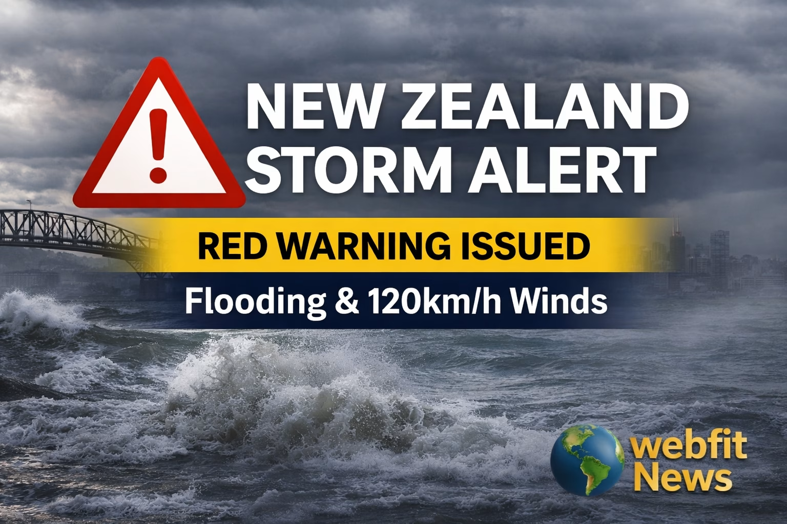
New Zealand is facing one of its most intense weather events of the year as a powerful subtropical low moves across the country, bringing heavy rain, strong winds, and widespread disruption. Authorities are warning that the situation is serious, especially in the upper North Island, where risks to life, property, and infrastructure are increasing.
This is not just another storm. It is a multi-hazard event, meaning several dangerous conditions are happening at the same time. Heavy rainfall, gale-force winds, and large ocean swells are all combining to create a complex and high-risk situation across multiple regions.
What Is Happening Right Now
The storm began forming near New Caledonia before moving south into the Tasman Sea and strengthening into a major weather system. As it approaches New Zealand, it is pulling in warm, moisture-rich air from the tropics.
This moisture is now being forced upward by New Zealand’s terrain, especially in regions like Northland and Coromandel. That is why rainfall levels are so extreme.
- Rainfall rates: up to 25 to 40 mm per hour
- Total rainfall: up to 320 mm in some areas
- Wind gusts: up to 120 km/h
This combination is what makes the event dangerous. It is not just rain or wind. It is both hitting at full strength.
Red Warning in Northland: Highest Level Alert
The most serious concern is in Northland, where a Red Heavy Rain Warning has been issued. This is the highest level of warning and is used only when there is a real threat to life.
Key risks in Northland:
- Rivers are rising rapidly, especially in areas like Kaeo
- Flash flooding due to repeated heavy rain bands
- Landslides in steep coastal regions
- Already saturated ground from earlier storms
Emergency services are asking residents in high-risk areas to consider evacuating early, especially during daylight hours.
Several marae and community centres have been opened as safe shelters, showing how local communities are stepping up to support each other.
Auckland on Alert: Urban Flooding and Transport Risks
While Auckland is not under a Red Warning, the risks are still significant due to its dense population and infrastructure.
Rainfall between 120 and 170 mm is expected, which can quickly overwhelm drainage systems. Urban flooding and sewer overflows are likely.
One of the biggest concerns is the Auckland Harbour Bridge.
- Wind gusts up to 120 km/h
- High risk for trucks and motorcycles
- Possible lane closures or full shutdown
Authorities are already preparing diversion plans using alternative routes.
Ferry services across the Hauraki Gulf are also heavily impacted, with multiple cancellations and delays. This includes disruptions to Great Barrier Island connections, which may be cut off for up to 48 hours.
Coromandel and Bay of Plenty: Flood and Isolation Risks
New Zealand Police “Move-On” Powers Spark Debate Over Homelessness and Public Safety – WebfitNews
The Coromandel Peninsula is expected to receive up to 280 mm of rain. The mountain ranges in this region intensify rainfall, making flooding more severe.
Key concerns:
- Rapid river rises
- Flooded roads and isolated communities
- Impact on events like the Beach Hop festival
Emergency access could become difficult if roads close or landslides occur.
Infrastructure Under Pressure
This storm is testing New Zealand’s infrastructure across multiple areas.
Power Outages
- Hundreds of homes are already without power in the Far North
- Risk of trees falling on power lines
- Repair crews are limited due to unsafe weather conditions
Roads and Highways
- High risk of closures in Mangamuka Gorge and Brynderwyn Hills
- Construction zones vulnerable to flooding
- Delays expected across major routes
Water and Health Risks
- Floodwater contamination from sewage and farm runoff
- Health warnings issued for rivers, beaches, and streams
- Public advised not to enter floodwater
South Island Also Impacted
While the North Island is the main focus, the storm is spreading south.
Tasman and the surrounding regions are expecting:
- 180 to 250 mm of rain
- River flooding risks
- Travel disruptions
Even areas like Banks Peninsula have already seen extreme rainfall levels, highlighting how unpredictable this weather system is.
Why This Storm Is Different
This is not just about one storm. It is part of a bigger pattern.
- Warmer sea temperatures are increasing moisture levels
- More frequent subtropical systems are forming
- Red warnings are becoming more common
New Zealand has already experienced multiple severe weather events this year, and this one adds to growing concerns about climate patterns.
What Authorities Are Saying
Emergency services and Civil Defence are urging people to take this seriously.
Key advice:
- Stay home unless travel is essential
- Monitor local updates regularly
- Be ready to evacuate if needed
- Avoid flooded areas and fast-moving water
Specialist rescue teams have already been deployed in high-risk regions, including water rescue and urban search units.
Webfit News Perspective
Let us be blunt. This is not just a weather story. It is a warning sign.
New Zealand is seeing repeated extreme weather events within the same year. That means this is no longer rare. It is becoming a pattern.
The real issue is not just how we respond to this storm, but how prepared we are for the next one.
- Are infrastructure systems strong enough?
- Are communities informed and ready?
- Are long-term climate risks being taken seriously?
If the answer to any of these is unclear, then this storm is exposing more than just weather risk. It is exposing system gaps.
What Happens Next
The storm is expected to continue through Friday before slowly easing.
However:
- Flooding risks may remain even after the rain stops
- Landslides could continue due to saturated ground
- Another weather system is already forming early next week
This means recovery time may be short before the next challenge arrives.
Final Take
This subtropical low is one of the most impactful storms New Zealand has faced this year. With heavy rain, strong winds, and widespread disruption, the focus right now is simple.
Stay safe. Stay alert. Do not underestimate it.
Because this is not just bad weather. This is a stress test for the country.
References
- MetService warnings and regional updates
- Civil Defence New Zealand alerts
- NIWA seasonal outlook
- Government infrastructure and emergency response data
- Full meteorological assessment